
Medford ZIP Code Coverage, Kept Narrow
Only one township-facing ZIP is verified in the research: 08055. It is tied to the USPS Medford office and appears on township official addresses. No official source established a complete boundary file for every ZIP touching the full Medford Township line, and no second ZIP serving a Medford Township situs was verified. The careful Medford ZIP code directory therefore names the confirmed ZIP and leaves neighboring possibilities for an address-by-address USPS check.
| ZIP | Verified area or label | Post office | Record-search caution |
|---|---|---|---|
| 08055 | Medford postal label and township-facing official addresses | USPS Medford, 326 Stokes Road | Postal geography is not the legal Medford Township boundary. |
Medford Lakes is a separate municipality even when a postal label or ZIP context seems related. Do not use 08055 alone to assign a property to Medford Township. Confirm the street address through USPS, then use the township selection and parcel identifiers in county records.
The USPS Medford location page identifies the 08055 post office and its public location details.
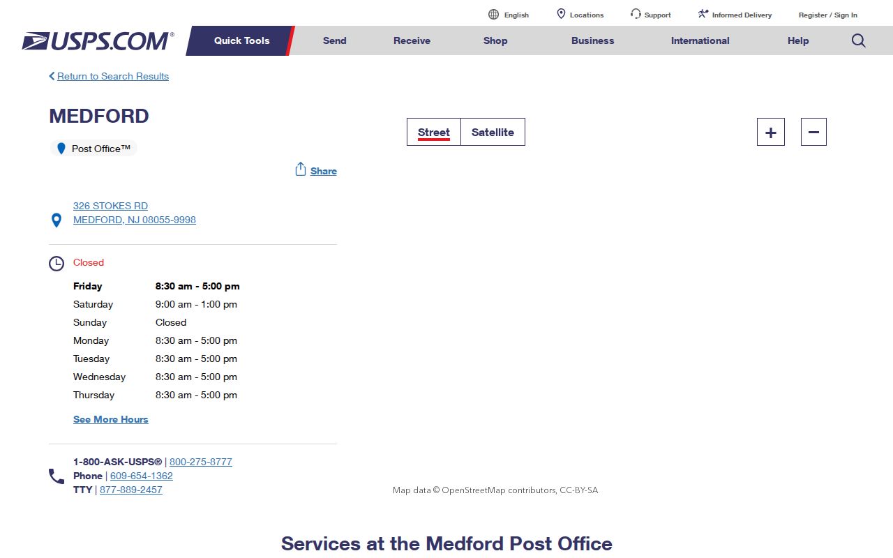
The post-office record supports the verified ZIP and service point, while the county parcel system remains the authority for township and lot identity.
Medford ZIP Code Directory Starts With USPS
The official USPS ZIP Code Lookup is the address-verification step. Its result depends on the street address entered. Use the complete address and city/state information, then preserve the returned ZIP+4 with the date of the check. A post-office address, a correspondence address, and a parcel situs can differ, so the USPS result is a delivery reference rather than proof of municipal jurisdiction or a complete directory of people.
| Street address | Enter the complete street location for an address-specific USPS result. |
|---|---|
| City and state | Use the postal city/state information with the street address. |
| ZIP or ZIP+4 result | Record the returned delivery ZIP before starting a parcel or deed search. |
| Source date | Keep the date of the USPS check because addresses and service data can change. |
The research did not verify a public ZIP-wide resident filter in the county assessment system, PRESS, or the documented GIS search modes. A successful Medford ZIP code directory search narrows one address first, then changes to the field the next custodian actually accepts.
The official USPS lookup form is shown below as the starting point for that address check.
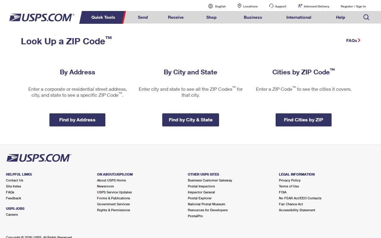
The form is designed to return a result from an entered address, which is why a ZIP search should not be treated as a general township-wide browse tool.
Medford ZIP Codes Are Not Township Lines
Medford’s records geography is township and parcel based, while the postal system uses delivery routes and place labels. Census geography also treats Medford Township and Medford Lakes as separate county subdivisions. The word Medford in an address is therefore not enough to identify the governing municipality. A parcel must be checked against the tax district, block, lot, qualifier, or map record before county or township files are interpreted.
- ZIP code
- A postal delivery code, not a municipal boundary or parcel identifier.
- ZIP+4
- An added delivery detail returned for a particular address; it is more specific than the five-digit ZIP.
- PO box ZIP
- A postal code associated with box delivery that can differ from a physical parcel address.
- Carrier route
- A USPS delivery grouping, not a legal township, neighborhood, or parcel boundary.
For a Medford ZIP code result, retain the postal label but let the tax district, township selection, and recorded parcel description decide which local custodian has the relevant file.
Medford ZIP Code Searches Need Parcel Keys
Once USPS confirms a delivery address, the Burlington assessment search is the next practical route. Its visible controls include Town, Owner Name, Property, B.L.Q., class, sales date, sales price, building square footage, and year built. There is no displayed ZIP filter. Select Medford Township and use the street or property field, then keep the returned block, lot, and qualifier with the address.
A BLQ is the block, lot, and qualifier used to identify a tax parcel. County GIS also uses keys such as NEWGISID, PAMS_PIN, QCODE, and tax-map page. These are stronger for records work than an address string alone, especially where a postal label could point beyond the township line. The owner mailing field is a correspondence field, not a complete household list and not a replacement for the parcel situs.
The Burlington County tax-map page distinguishes Medford from Medford Lakes and provides the map route needed when an address and deed description do not match neatly.
Find Records Within a Medford ZIP Code
ZIP geography can organize an address search, but it does not create a public people list. The documented county tools shift from ZIP to address, municipality, parcel key, name, or date. That is a meaningful boundary: start with a precise USPS result, then use the specific record channel suited to the question. When a street-level record trail is needed after the ZIP is confirmed, the Medford street directory has the fuller address-and-parcel workflow.
- Verify the full street address with USPS and save the ZIP or ZIP+4 result with the check date.
- Select Medford Township in the assessment search and enter the street in the Property field.
- Record the situs address, BLQ, tax-map page, and any deed-book or page reference returned with the parcel.
- Use the BLQ, legal description, or recorded name in the County Clerk’s PRESS index, rather than assuming a ZIP search exists there.
- For election questions, use the state registration-status tool for an individual and follow its statutory privacy limits.
The New Jersey Division of Elections links its registration-status tool. Official guidance describes name, date-of-birth, and city/county matching, not a ZIP-wide public lookup.
Note: Preserve USPS, township, parcel, and record-source dates separately because each source captures a different part of the address history.
Medford ZIP Code Results Need Address Types
County parcel and deed records use several address concepts. The situs is the physical property location. A mailing address is where tax correspondence is sent. A legal description is the wording in a recorded instrument that identifies the parcel through a lot, block, plan, or other land description. A parcel can retain its address while the lot arrangement changes, and an older instrument can describe a subdivision name that no longer resembles the current street address.
The county GIS REST layer separates property location from owner mailing fields and also carries deed-book/page, sales, and map fields. Use a returned BLQ and tax-map page to compare these address types before concluding that two labels refer to different places. PRESS can be searched by names, BLQ, and date, but the deed’s legal description is still the record that joins an older transfer to today’s parcel.
No official Medford ZIP split, realignment, or township-wide street-renumbering history was verified. Search an old road name, Cross Roads or Church Road reference, postal village wording, directional prefix, and tax-map description before calling a missing result an error.
Medford ZIP Code Mapping When GIS Is Offline
The county Interactive Maps/GIS page currently labels both recommended Property Viewer applications as offline. That notice matters: a map feature described elsewhere may not be available when a reader tries it. The County GIS office remains the mapping and data contact at 122 High Street in Mount Holly, 609-265-5125, weekdays 8 a.m. to 5 p.m. Historical USGS maps are also available through the county page.
The ArcGIS Property Viewer item describes the intended search modes as street address, township-block-lot, and owner, with parcel popups and layers. The technical parcel REST layer remains inspectable, including its field schema and query options, even while the public viewer is offline. Neither route changes ZIP delivery geography into a township boundary.
The county property viewer description records the parcel-search design and available layer context.
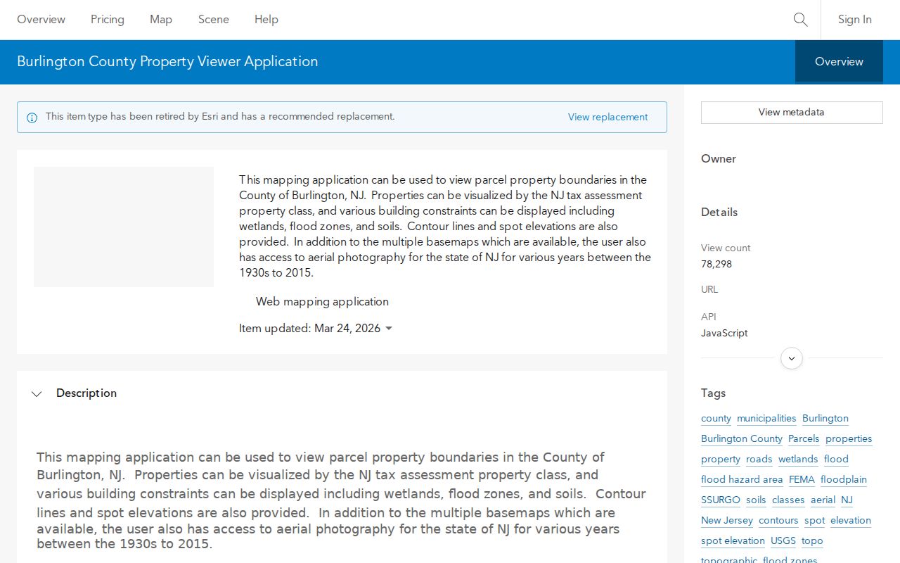
The viewer image is useful for understanding the intended parcel tools, while the current offline notice means an address search needs a fallback to the assessment hub, REST layer, GIS office, or tax maps.
The Burlington County parcel REST layer supplies the documented schema and query controls that remain available for technical parcel inspection.
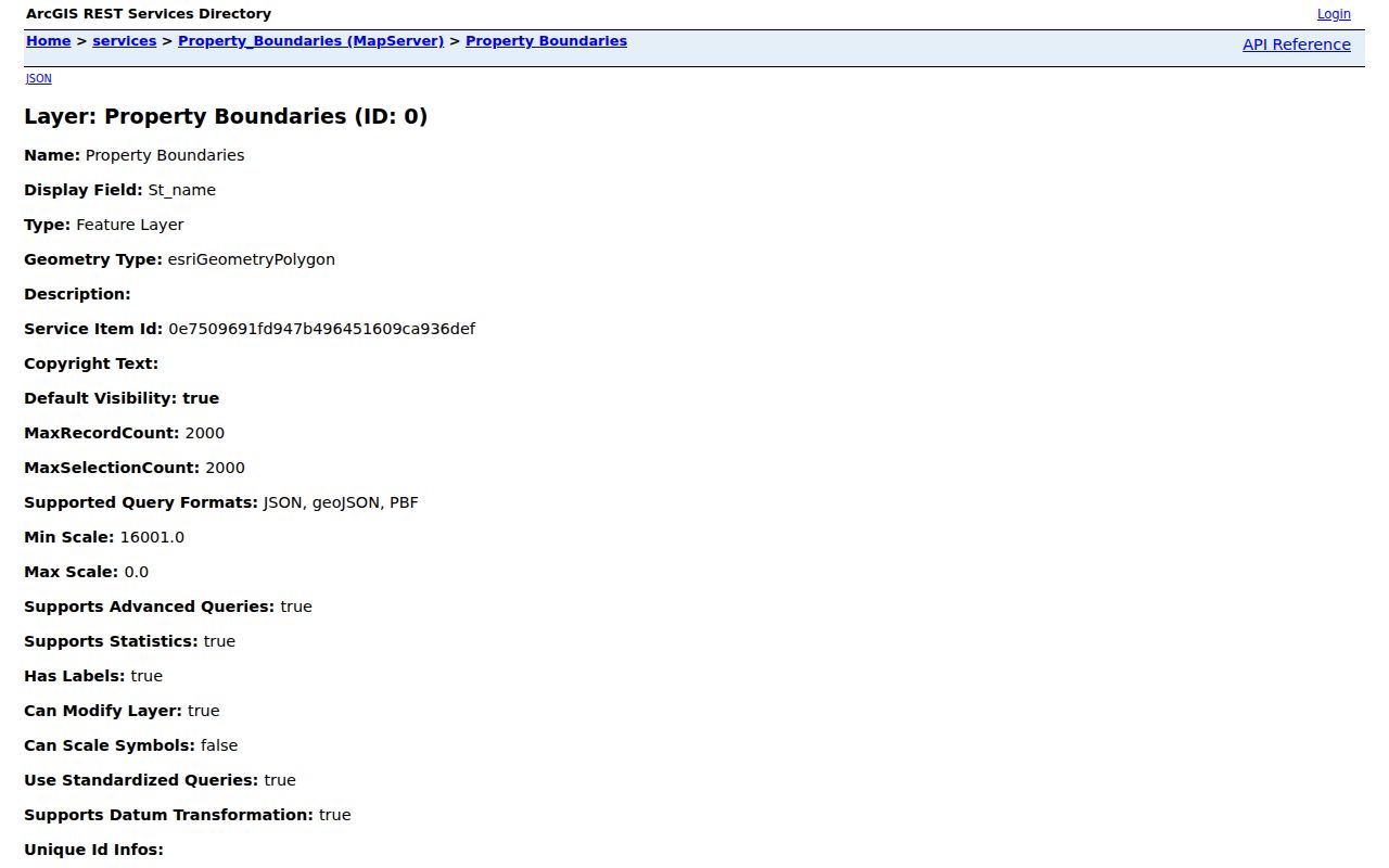
The layer separates parcel identity, situs, owner-mailing, deed, sale, and map fields, so its data must be read as parcel context rather than as a ZIP-wide resident list.
Medford ZIP Code History Needs Dated Sources
A ZIP result is present-day delivery information, not a historical neighborhood directory. For an older address, use dated sources that describe the period being investigated. The Central Record is verified from 1975 through 2021, with full text from 2001. Medford Sanborn map sheets are verified for 1908, 1915, and 1924. Federal census schedules are public through 1950. Each source has a different time frame and field of view, so they should be compared rather than collapsed into a false ZIP-level history.
The timeline also explains why a postal result and a historical record can disagree without either one being wrong. A tax assessment is a current snapshot. A deed records a transfer and legal description. A map shows the site at a stated edition date. A newspaper reports a dated event. The postal lookup confirms delivery information for the address entered. Save the exact wording of each one, then look for the next dated record that connects the street, parcel, or household.
The BCLS local-history resources, Princeton’s Medford Sanborn guide, and the Medford Historical Society archive provide named routes for that work. The library advises searching Medford Township, Medford, nearby villages, family names, church names, and historical street spellings. No official ZIP-level population or complete local ZIP boundary history was found, so this directory does not turn township population figures into postal statistics.
Note: Label every historical address finding with its source year because ZIP delivery, maps, deeds, newspapers, and census schedules do not cover the same period.