
Medford Neighbors Around One Parcel
A Medford block-level search is strongest when it stays spatial. Start with the target Medford parcel, identify the Medford lots that touch it or sit immediately along the same segment, and preserve each block-lot-qualifier as a separate key. The Medford assessment record can identify the current taxable owner and situs. PRESS can identify recorded parties and instruments. A Medford tax map or GIS layer explains how parcels connect. These sources support a careful picture of Medford parcels around an address, but they do not prove every occupant or private relationship nearby.
| Source | What it shows about a block | Access |
|---|---|---|
| Medford GIS parcel layer | Parcel boundaries, BLQs, streets, tax-map context, and mapped fields | Viewer is currently offline; REST layer and GIS office remain fallbacks |
| Medford assessment search | Taxable owner, situs and mailing addresses, class, sales, and physical filters | Public search by each parcel or street text |
| Medford PRESS route | Recorded owners or parties, document details, and recording dates | Name, BLQ, and date routes; coverage depends on the field used |
| Medford tax map | Lot geometry, subdivisions, and street relationship | County tax-map page, GIS office, or parcel data request |
| Medford library and history sources | Dated notices, maps, photos, family and community context | BCLS, Medford Historical Society, or appointment research |
The Burlington County parcel REST layer exposes the technical parcel schema used for a careful Medford block inventory.
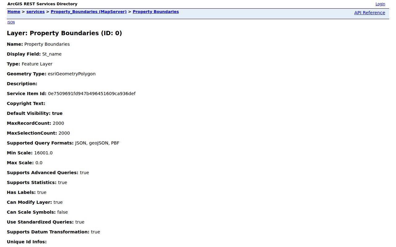
The Medford layer lists fields for block, lot, qualifier, tax-map page, property location, owner mailing information, deed book and page, and sale data. A listed field is evidence of a record category, not proof that a person lives at the parcel.
Map a Medford Block by BLQ
The county’s ArcGIS item describes a Medford address, owner, and township-block-lot search, with parcel click, layers, legend, measure, and detail controls. A BLQ is the block, lot, and qualifier used to identify a Medford parcel. When the viewer is available, the method is to locate one parcel and work outward in Medford street order or clockwise order. When it is not, the same process can begin with the REST layer, a tax map, or a request to county GIS staff.
The Burlington County Property Viewer item records the intended parcel-search modes and the map controls that connect an address to a parcel.
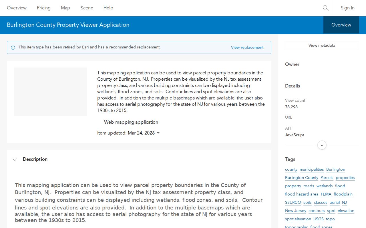
The item supports Medford address, owner, and township-block-lot searching in its documented design. It does not change the county’s separate notice that the public viewer applications are currently offline.
- Locate the target Medford address and record its BLQ, tax district, and source date.
- Identify the polygons around the Medford target parcel or the immediately adjacent lots along the block.
- Write down each neighboring Medford BLQ before searching owner or deed records.
- Run each Medford BLQ through the assessment search, keeping situs and tax mailing fields distinct.
- Use PRESS for a dated Medford recorded-party trail when the parcel record supplies a current owner or deed reference.
The Medford flow is address to parcel, parcel to adjacent BLQs, BLQs to assessment records, then selected records to PRESS. For a full named-street chain rather than one block, use the Medford street directory.
Medford Neighbor GIS Fallback
Burlington County currently labels both the Medford Property Viewer Web Map and the recommended Property Viewer Mapping Application as offline. That status matters. It means a Medford block search should not promise a live map click that a reader cannot make today. The county still provides historical USGS maps and identifies GIS staff as a contact route. The parcel REST service remains inspectable and supports query, pagination, statistics, and GeoJSON or PBF output, with a stated maximum selection or record count of 2,000.
The county GIS status page documents the current Medford condition and its Medford mapping alternatives.
Use the online Medford map item only as a description of intended controls while the county page says the public viewer is offline. For an authorized Medford map or data extract, contact the GIS office with the Medford address, parcel key, needed layer, and date range.
Note: An offline Medford viewer, an empty query, and a protected record are different outcomes and should be documented separately.
Medford Block Owners Are Not Households
The Medford assessment portal has owner-name, property, BLQ, class, sales, building-size, and year-built filters. Medford GIS fields distinguish the parcel’s property location from the owner’s mailing street, city, state, and ZIP. That distinction matters around a Medford block. A nonlocal mailing address may belong to a Medford owner, trust, estate, company, or tax representative. A matching mailing and situs address may support an ownership clue, but it still does not name every household member or prove who is present now.
| Official Medford parcel evidence | Mixed-source neighbor profile |
|---|---|
| Has a named custodian, parcel key, and source date | May merge old addresses, similar names, and unrelated filings |
| Separates parcel situs from owner tax mailing fields | Can blur owner, occupant, and former-address information |
| Supports a limited parcel or recorded-document question | Does not replace a primary record or consent-based community list |
Use the official Medford record first and keep the source category visible. A parcel boundary is geographic evidence, while a recorded deed party is a transaction participant. Neither label should be converted into a complete nearby-household list.
Note: A Medford tax mailing field can help trace an owner’s correspondence, but it cannot identify a household.
Medford Voter Records Cannot Browse a Block
The state registration tool is an individual Medford status check. It is not a public street-browse tool, and a nearby Medford address may have no public lookup result even if someone lives there. New Jersey election statutes protect identifiers and digitized signatures. A full Medford county voter-file request, when appropriate, uses the Burlington Superintendent of Elections OPRA route and should specify the municipality, ward or district, time period, requested fields, and delivery format. The county must apply statutory and confidentiality limits.
A Medford registration address is election information, not a universal household record. Protected voters and Address Confidentiality Program participants require special handling, and an inactive status does not prove a person has left a Medford address.
Community Context Around a Medford Block
Medford community sources can add a dated, consent-based layer after the parcel work is done. They are not a substitute for a municipal roster. The Medford Historical Society has a growing archive with more than 800 online items, including maps, property material, photographs, family and community documents, school and agricultural history, clippings, and local business references. Pinelands Library offers Medford local-history databases, newspaper indexes, scanning, and staff help. The Friends Meeting House and Kirby’s Mill appear in the Medford township’s historical context, but no resident list should be inferred from a Medford community venue.
Medford Historical Society
Archive of local maps, property records, photos, and family or community materials. Contact for items not yet digitized.
Pinelands Library
Local branch at 49 Union Street with BCLS genealogy tools, newspaper resources, copying, and scanning.
Burlington County Historical Society
Appointment research library with deeds, maps, family files, manuscripts, and a paid staff research option.
The Medford Historical Society archive is a useful place to identify records that need a manual or staff-assisted search.
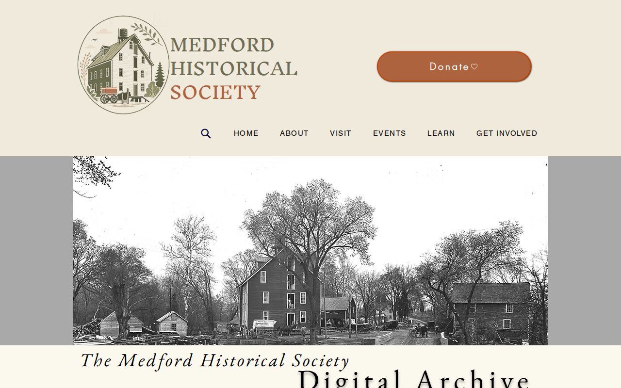
Historical material can connect a name, property, or street to a dated local event. It should be cited by item and date, then checked against the parcel or recorded-document trail.
No Verified Medford HOA Member Directory
No official source reviewed for Medford verified a public HOA, neighborhood-association, block-watch, congregation, or chamber roster that covers township neighborhoods. That Medford absence is useful information. Private member lists require consent and should not be reconstructed from parcel boundaries, tax mailing fields, or election records. A local group may maintain its own member contact path, but it is not a public-record substitute and its terms should control access.
When the goal is to understand a block’s shared history rather than contact current people, BCLS, the Historical Society, Sanborn maps, and dated newspaper notices are safer research channels.
Note: A missing public roster is a boundary to respect, not a gap to fill from scattered parcel records.
Public Files for a Medford Block
Medford address-specific public files can sometimes explain a parcel without naming every resident. Medford Planning and Zoning lists residential, shed, pool, fence, sign, tree-removal, wetlands-buffer, variance, and other packet categories, but no live public permit search was verified. Request a narrow Medford file by address, record type, and date range through the township’s OPRA channel or the relevant office. A permit or code file can identify an application, review date, owner, or project description; it does not prove completion or occupancy.
County public legal notices can add a dated sale or filing reference, but they are not a current neighbor list. Preserve the file date, source, and parcel key so another researcher can reproduce the result without adding private contact details.
Privacy Limits for a Medford Block
A careful Medford block search leaves important facts unknown. Utility and delivery customer information, motor-vehicle addresses, informal occupancy, protected addresses, and private member lists are not public parcel evidence. New Jersey’s Address Confidentiality Program uses substitute addresses for qualifying participants, and Daniel’s Law protects covered people and family members. Court protections and election-record restrictions also apply. Respect a Medford custodian’s redactions and do not republish sensitive material simply because an old scan or a mixed-source profile appears to expose it.
Lawful use. Use Medford neighbor records for personal, lawful research and community context. Do not use a parcel, voter, or filing record to stalk, threaten, harass, or intimidate anyone.
For a reproducible result, retain the target parcel’s source date, the adjacent BLQs in street order, the assessment query used, and whether PRESS returned an owner-name or BLQ result.